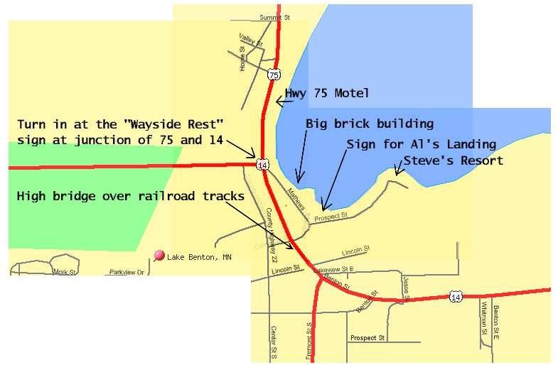
As shown on the map below, there is a "Wayside Rest" sign at the junction of US Highways 14 and 75 at the west end of Benton Lake, about .1 miles north of some railroad tracks and a highway bridge.
At the blue Wayside Rest sign, turn east (toward the lake). Drive
southeast past an old large brick building, until you see a brown sign
for Al's Landing, and further along, a sign for Steve's Resort. Drive
east to parking at end of road, near two long buildings.
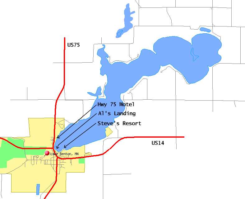
Map of whole Lake Benton area
Map of west end of Benton Lake (as above)
Mapquest map of west end of Benton Lake
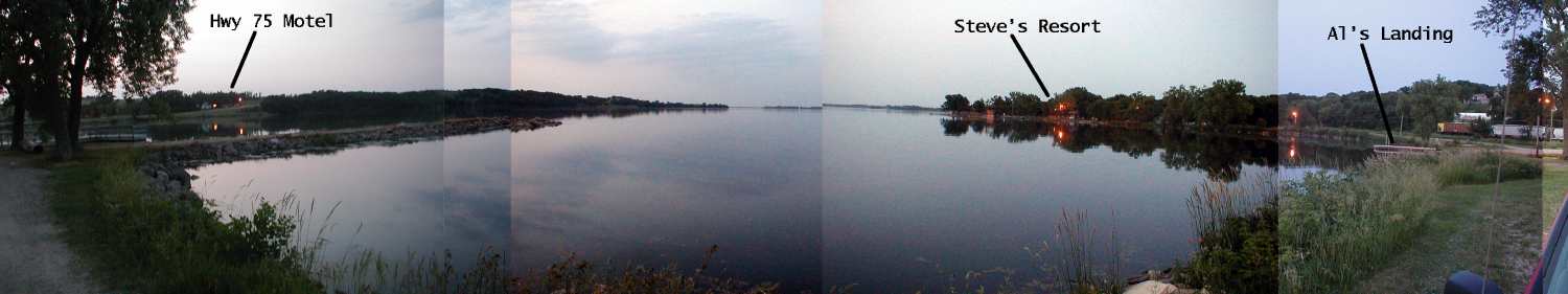
Small (1500x281 pixels, 40KB) panorama of
west end of Benton Lake, with labels
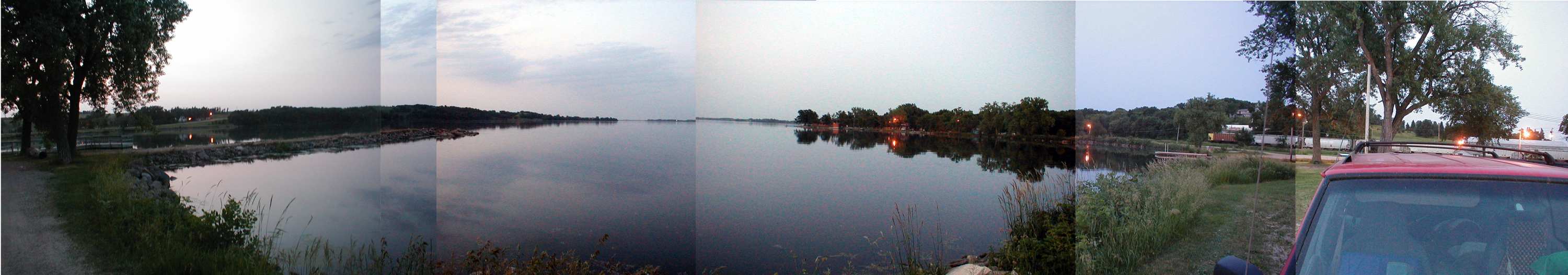
Medium (3000x528 pixels, 141KB) panorama of
west end of Benton Lake, no labels
Lake Benton Visitor's
Bureau webpage